First Nations History:
The mountains and valleys here have been home to Indigenous Peoples for at least 10,000 years - since the end of the last ice age, when melting glaciers changed the landscape into what we know today.
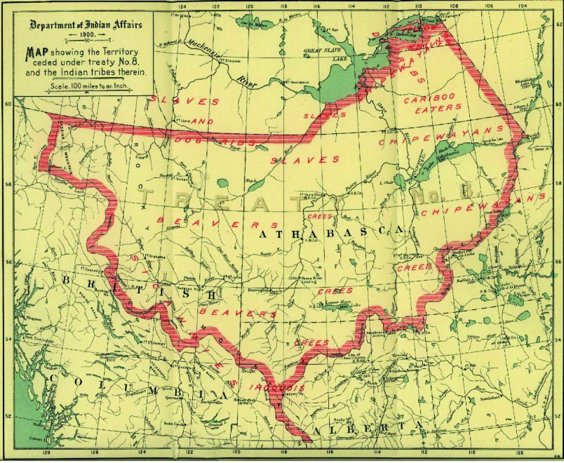
 Map showing the Treaty 8 Territory - Library and Archives Canada Mikan no. 384235
The stories of First Nations people tell of a giant’s footsteps that left pothole lakes, and of glacial boulders that move and transform into people when no one is around. These stories have been passed down through the generations, and build a different kind of map of the land. The Tumbler Ridge UNESCO Global Geopark lies within Treaty 8 territory, and includes the overlapping traditional lands of Cree, Dunne-Za, Saulteau and Tse’Khene.
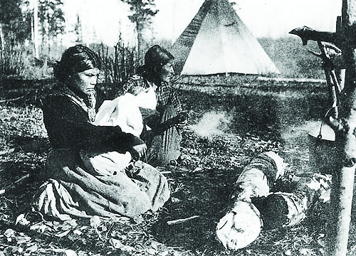
The DUNNE-ZA (‘real people’, also known as Beaver) have a long history in the area, with communities located throughout northeastern BC. The closest Dunne-Za community to our Geopark is West Moberly First Nations at Moberly Lake.
The ‘Dreamers’ in the Dunne-Za tradition are medicine people who share the cultural history and visions of the future through stories and songs. Stories from the Dreamers go back in time for thousands of years and connect people to the land, the animals, and the spirits from the past and into the future.
 Three generations of Dunne-Za women at Moberly Lake, British Columbia - Courtesy of Glenbow Museum
From the south and into the mountains, the TSE’KHENE (‘people of the rocks’, also known as Sekani) travelled north into land that is now within the Geopark to hunt and fish as far back as their oral traditions go.
The mountains and valleys here have been home to Indigenous Peoples for at least 10,000 years-since the end of the last ice age, when melting glaciers changed the landscape into what we know today.
McLeod Lake Indian Band is the closest Tse’Khene community to our Geopark and is located along the shores of McLeod Lake on the western side of the Rocky Mountains. Their elders recall stories from before the fur trade. In earlier times, some families would travel north through the mountains and up the Sukunka River Valley to Gwillim Lake for fishing, and occasionally out to the plains beyond for hunting bison.
The CREE peoples in the region came west with the fur trade, tracing their roots to the prairies and the boreal forests of northern Alberta and Saskatchewan. Cree people have intermarried into the other Indigenous communities around the Geopark, and established a community at Kelly Lake.
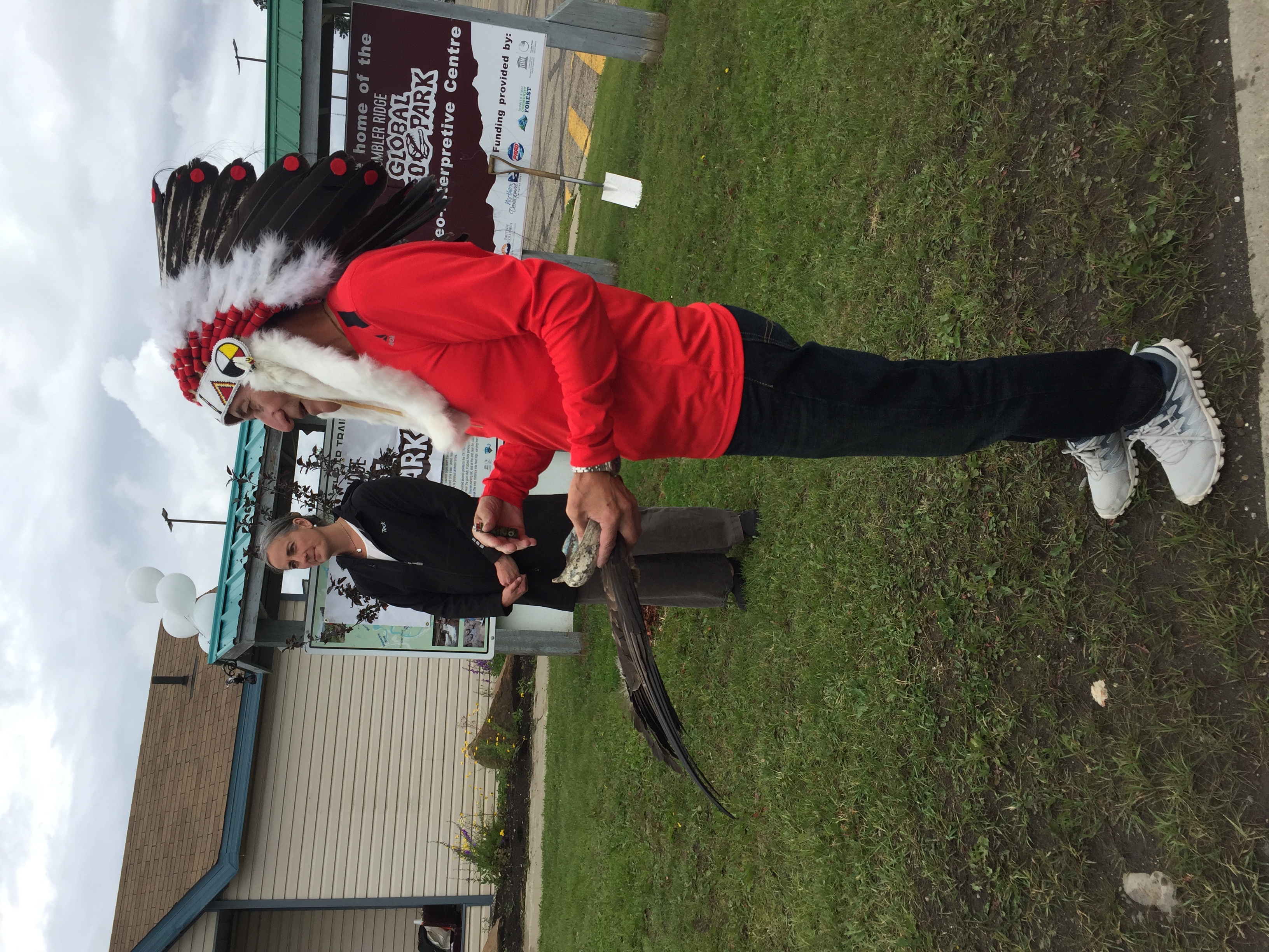
 Chief Calliou of Kelly Lake Cree Nation (As'in'i'wa'chi Ni'yaw Nation) performing a blessing of the land for the groundbreaking of the Geo Interpretive Centre.
SAULTEAU First Nations is located at the east end of Moberly Lake, to the northwest of the Geopark. The Saulteau people trace their roots to southern Manitoba, and their community story speaks of leaving their reserve, where they were starving, after their leader Napaneegwan (‘One Wing’) had a vision to travel west until they came to a lake below twin peak mountains. The trek west took many years, 6 Elder from Mcleod Lake Indian Band teaching the Tse’khene language at the grand opening of the Community Forest Interpretive Trail. Chief Calliou of Kelly Lake Cree Nation (As’in’i’wa’chi Ni’yaw Nation) performing a blessing of the land for the groundbreaking of the Geo Interpretive Centre. and the Saulteau people first arrived at Moberly Lake in 1911, where the Beattie Peaks can be seen on the horizon to the west.
Today, Indigenous Peoples continue to hunt, fish and trap on their traditional territories in and around the Geopark. They are also business people, tradespeople, students, educators, doctors, nurses, administrators and more. They are our friends and neighbours, part of the fabric of the cultural landscape that makes up the Tumbler Ridge UNESCO Global Geopark.